>
-
San Rossore
Toscana_Italy
-
Riserva confluenza del Tanaro
Piemonte_Italy
-
Bosco delle Sorti della Part..
Piemonte_Italy
-
Boschi della Sila
Calabria_Italy
-
Val Brenta_Dolomiti di Brenta
Trentino_Italy
-
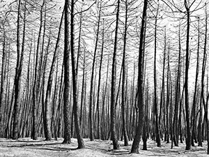
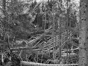
Aspromonte after the 2021 fire
Calabria_Italy
-
Bosco Monte Generoso
Lombardia_Italy
-
Vallesinella_Dolomiti di Brenta
Trentino_Italy

-
Mottarone
Piemonte_Italy

-
Garessio
Piemonte_Italy
-
Val Ferret
Val d'Aosta_Italy

-
Bosco Fontana
Lombardia_Italy
-
Isola Boschina
Lombardia_Italy
-
Bosco Corni di Canzo
Lombardia_Italy
-
Val di Fiemme
Trentino_Italy
-
Pigra
Lombardia_Italy
ITA
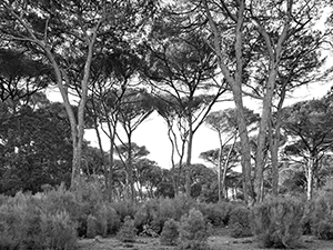
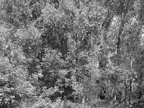
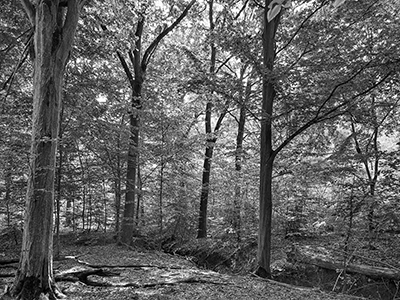
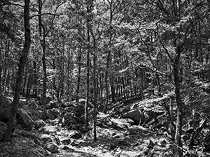
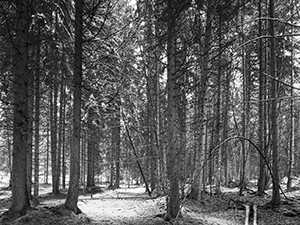
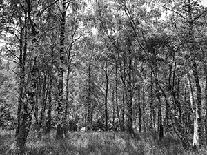
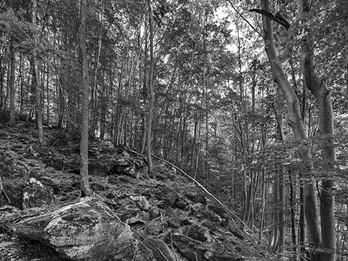
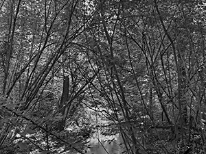
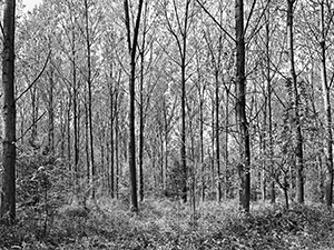
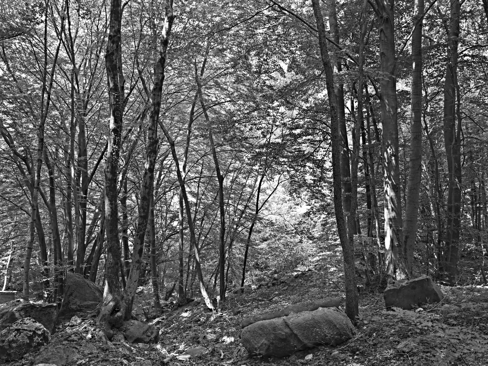
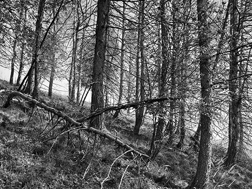
Mapping Woods è un progetto di documentazione fotografica del patrimonio forestale italiano, avviato nel 2014 e tuttora in corso. Sedici boschi documentati in tutta la penisola — dalla Calabria alle Dolomiti, dalla pianura padana all'Appennino — restituiscono la varietà e la fragilità di un patrimonio che è insieme naturale, culturale ed economico. Un archivio visivo che cresce nel tempo, costruito con il metodo della ricerca territoriale.
ENG
Mapping Woods is a long-term photographic documentation project dedicated to Italy's forest heritage, begun in 2014 and still ongoing. Sixteen woodlands across the peninsula — from Calabria to the Dolomites, from the Po Valley to the Apennines — render the variety and fragility of a heritage that is at once natural, cultural and economic. A visual archive that grows over time, built through the methods of territorial research.